Parklands Albury Wodonga acknowledge the Duduroa-speaking people as the Traditional Custodians of the lands now known as Kiewa River Parklands.
The Lower Kiewa is an area of statewide significance due to it’s floristic diversity. As an unmanaged river, Kiewa River Parklands provides a unique Australian experience of a naturally meandering river and is one of the top three rivers in Victoria for recreational fishing.
Size
125 Hectares
Biodiversity
A thriving ecosystem home to River Red Gums, numerous bird species, amphibians and many species of smaller riparian flora.
Landform
Meandering river with smaller tributaries breaking up otherwise flat floodplain river frontages.
Classification
Recreation and conservation
Walking Trails:
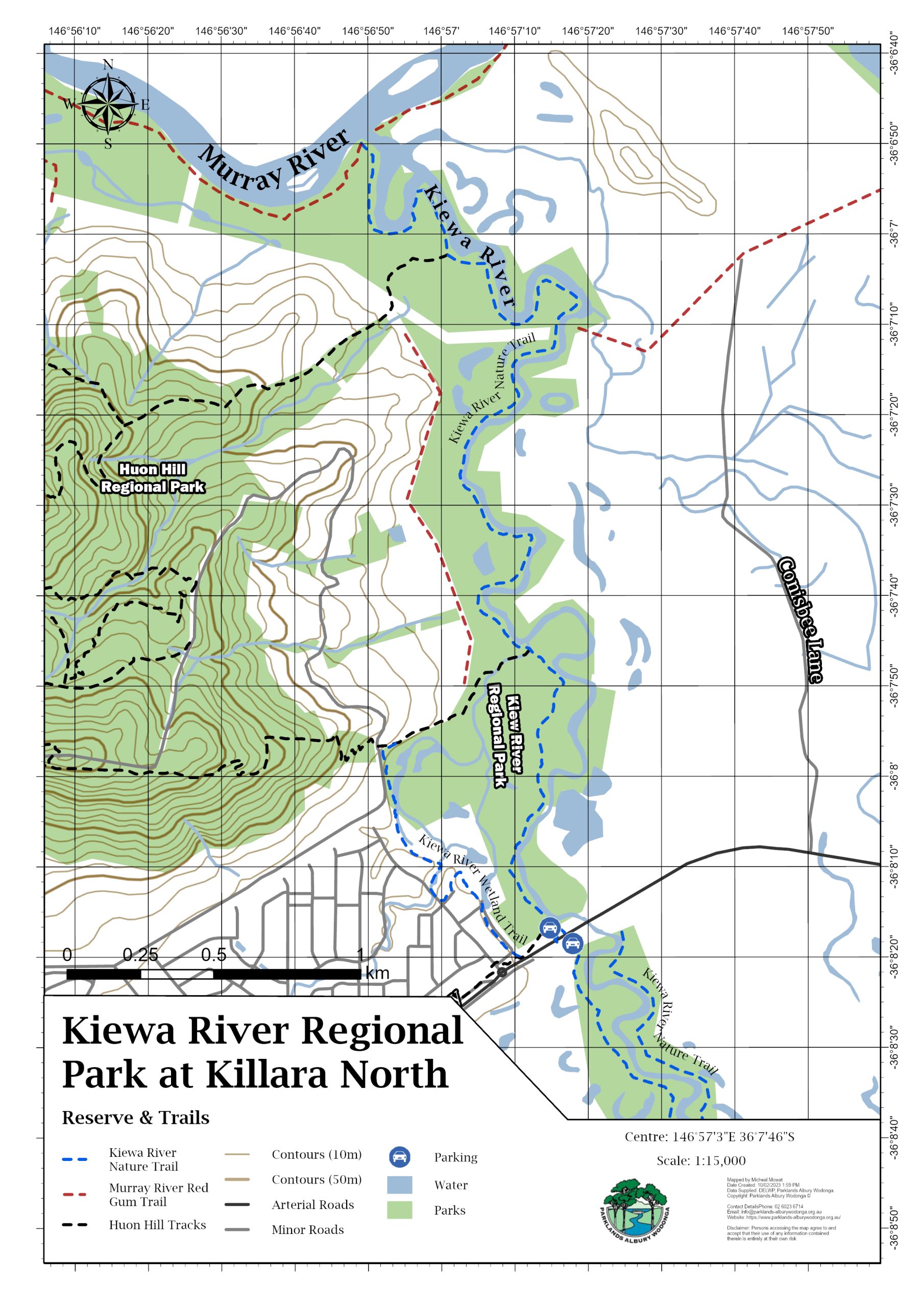
- Kiewa Track (8km return downstream of Killara to junction with Murray River)
- Kiewa Track (2km return upstream of Killara on western bank)
- Kiewa Track (25km’s from Killara to Kiewa township on eastern bank) – Once permission is secured for three key access points, this track will be formally opened.
- Click here for Trail Notes – Kiewa River Regional Park
- Click here for the Walking Maps Interactive Map
Downloadable Track Map

Access:
The Entrance to Kiewa River Parklands is the Killara picnic area on the Kiewa River just off the Murray Valley Hwy on the left and right (as you are heading out of Wodonga) just before the road crosses the Kiewa River.
Things to Do:
- Birdwatching
- Picnicking Short or Long walks
- Photography
- Mountain biking (easy grade as flat earthen track)
- Fishing (one of the top three “premier” recreational fishing rivers in Victoria)
- Fishy Trail Run (first Sunday in April)
- Kiewa Cultural Trail Virtual Tour
Facilities:
- Walking Tracks
- Picnic Tables
- Carparking
- Bird Hides
The Project:
An ambitious endeavour, the Lower Kiewa River Project aims to establish, revegetate and stabilise a riparian corridor on either side of the Kiewa River – from its junction with the Murray River to upstream at Yackandandah Creek. The section from the Murray River to the High Country Rail Trail is now fenced between 50-100 metres wide.
The works began with Regional Skills and Work for the Dole participants who completed 10 kilometres of fencing and planted 25,000 plants along this riparian area. The integrated land management program includes spring crash grazing to control the pasture grasses, particulary Phalaris and Paspalum; summer and winter broadleaf weed control; rabbit fumigation and staged revegetation with understorey species.
North East Catchment Management Authority has also worked with individual licensees and private landholders to facilitate fencing stock from the actual river. Whilst these corridors are narrower, both water quality and stock health have improved measurably, as Waterwatch Facilitators can testify.
The three Rotary Clubs of Wodonga completed work on the Kiewa River Walking Track, extending it 4 kilometres from the Murray Valley Highway to the Murray-Kiewa Junction. Bird hides have been constructed along the track overlooking wetlands.
A Fisheries Victoria recreational fishing access grant was the impetus to extend the Rotary walking track all the way to Kiewa – Tangambalanga with stock-proof chicane pedestrian gates installed in cross fences along the crown water frontages between Killara and Kiewa – Tangambalanga. This provides safe pedestrian access along the water frontages without having to clamber under and over electric and barbwire fences, and enables neighbour’s stock to access water. Once the project is complete, a map of access points will be included on our website.
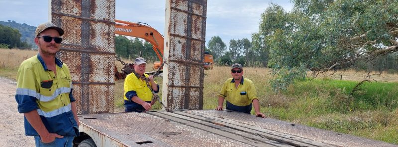
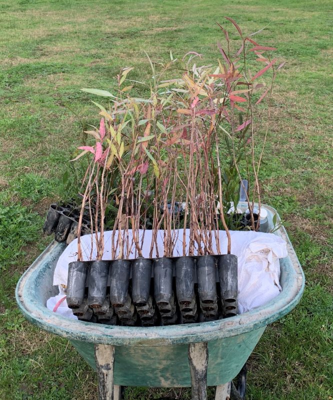
A current Victorian government grant through the North East CMA is protecting and enhancing a further 95 hectares of the lower Kiewa River by removing black willows and replanting with native seedling.
Want to get involved? We’re always looking for volunteers and people with unique skills to help out whenever possible. Click the link below to find out more!


